UN
35 Norfolk Avenue
£ 600,000
Description
We don't have a Description for this property.
- Bedrooms
- 3
- Bathrooms
- 0
- Sqft
- 1,227.00
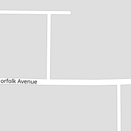

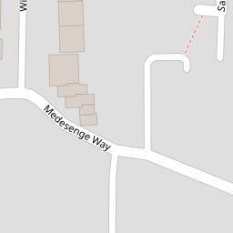

Leaflet © OpenStreetMap contributors
The heatmap indicates the level of crime in the area. The color of the heatmap indicates the crime severity and recency.
Metrics Year-on-Year
- Average area value
- 673,889.00 £Increased by 20.09 %
- Est sale value
- 626,997.00 £Decreased by 7.26 %
- Average area rental value
- 1,622.00 £/moDecreased by 15.78 %
- Est letting value
- 1,227.00 £/moUnchanged by 0.00 %
- Est rental Yield
- 2.89 %Decreased by 29.85 %
- Crime Rate
- 3.00 %Unchanged by 0.00 %
from 561,159.00 £
from 676,077.00 £
from 1,926.00 £/mo
from 1,227.00 £/mo
from 4.12 %
from 3.00 %
Nearby Schools
| Name | Type | Ofsted | Distance |
|---|---|---|---|
| Footsteps Trust | Other Independent School | Good | 0.44 KM |
| Riverside School | Community Special School | Good | 0.48 KM |
| Woodside High School | Academy Converter | Outstanding | 0.63 KM |
| St Michael At Bowes Cofe Junior School | Voluntary Aided School | Good | 0.66 KM |
| Tottenhall Infant School | Community School | Requires improvement | 0.73 KM |
Images
Nearby Streets
| Name | Average Price | Average Sqft | Distance |
|---|---|---|---|
| Sandcroft Close | £ 0 | 0 | 0.00 KM |
| St. Pauls Rise | £ 0 | 0 | 0.00 KM |
| Beale Close | £ 299,995 | 0 | 0.00 KM |
| Mia Mews | £ 0 | 0 | 0.00 KM |
| Fairbrook Road | £ 575,000 | 0 | 0.00 KM |
Nearby Transport
| Name | NLC | TLC | Distance |
|---|---|---|---|
| Palmers Green | 6021 | PAL | 1.58 KM |
| Bowes Park | 6027 | BOP | 2.33 KM |
| Alexandra Palace | 6025 | AAP | 2.59 KM |
| Winchmore Hill | 6024 | WIH | 2.78 KM |
| Hornsey | 6015 | HRN | 2.86 KM |
Nearby Listings
| Address | Price | Type | Score | Distance |
|---|---|---|---|---|
| Medesenge Way, London, N13 | £ 225,000 | BUY | 6 / 10 | 0.08 KM |
| Medesenge Way, London, N13 | £ 250,000 | BUY | 5 / 10 | 0.08 KM |
| St. Pauls Rise, London N13 6LB | £ 300,000 | BUY | 6 / 10 | 0.12 KM |
| St. Pauls Rise, Palmers Green, London, N13 | £ 165,000 | BUY | Unknown | 0.13 KM |
| Godolphin Close, London, N13 | £ 155,000 | BUY | Unknown | 0.13 KM |
Nearby Properties
| Address | Price | Distance |
|---|---|---|
| 71 Norfolk Avenue | £ 551,000 | 0.00 KM |
| 61 Norfolk Avenue | £ 185,000 | 0.00 KM |
| 35 Norfolk Avenue | £ 600,000 | 0.00 KM |
| 77 Norfolk Avenue | £ 366,500 | 0.01 KM |
| 73 Norfolk Avenue | £ 325,000 | 0.01 KM |